RedTail Lidar Systems has introduced a new sensor designed to operate on drone platforms.
The RTL-450 sensor, which incorporates a micro-electro-mechanical systems (MEMS) mirror and a precision navigation system for accurate data generation on aerial surveying missions, includes 3D point clouds to generate analytics of geographic and manmade features on the Earth’s surface.
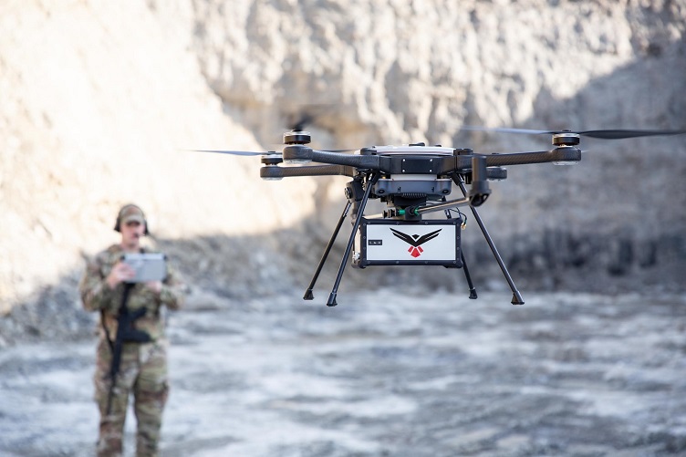
The lidar sensor weighs just 4 lb and can be mounted to any drone platform. Currently, the sensor has been integrated into the FLIP SkyRaider, Freefly Alta-8, 4D X6, DJI Matrice 300 and DJI Matrice 600 drones.
The lidar operates in a raster scan mode for surveillance missions and a side-to-side line scan mode for area mapping. The command-and-control display is integrated into the ground control station to allow operators to monitor and optimize data collection missions.
RedTail said the lidar is suited for military drones as well as first responder and commercial unmanned aerial systems (UAS). Uses could include mission planning, battle damage assessment, force protection, emergency response, remote surveillance, construction and resource management and infrastructure development.
RedTail will launch the drone at the XPONENTIAL 2021 trade show taking place on August 16-19 in Atlanta.
