Researchers at Northern Arizona University are researching how light detection and ranging (lidar) technology can be used to monitor forest ecology and ecological restoration.
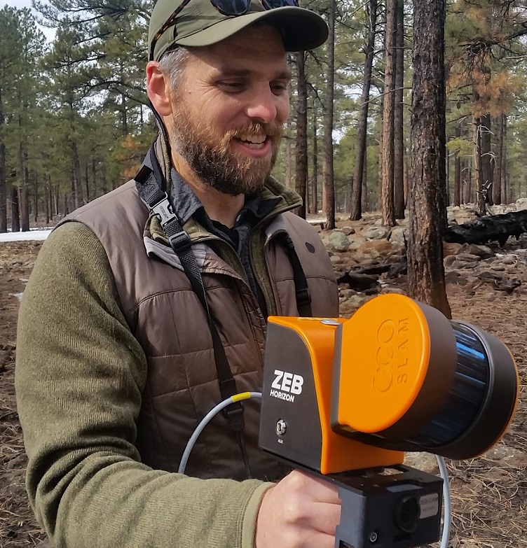
The research involved using piloted airborne, fixed-location terrestrial (TLS) and mobile lidar scanning (MLS) to see how these tools could be used to provide detailed information on forest structure and composition.
"We needed an accounting of relative accuracy and errors among lidar platforms within a range of forest types and structural configurations," said associate professor Andrew Sánchez Meador, executive director of NAU's Ecological Restoration Institute (ERI). "Our findings suggest that MLS has great potential for monitoring a variety of forest attributes."
Meador said the scanners are cheaper than other monitoring platforms and work well indoors as well as outdoors. They can also be easily deployed and view the forest in the same manner as humans.
"As the technology develops further and prices continue to come down, we expect to see more researchers and managers using these tools for all sorts of applications, from monitoring the effects disturbance events such as fire and flood, to quantifying vital wildlife habitat, to providing baseline data for virtual reality applications and simulation modeling,” Meador said.
Lidar can rapidly assess:
- Forest structural conditions in mixed-conifer forests.
- Identify the amount and distribution of coarse woody debris.
Northern Arizona University research focused on restoring western forest landscapes using new technologies and promoting solutions such as the use of tree biomass and wood products and engaging with communities to influence land management.
The full research can be found in the journal Remote Sensing.
