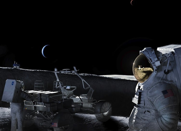
NASA’s Kinematic Navigation and Cartography Knapsack (KNaCK) Instrument project is using 4D lidar from Aeva to support future lunar and planetary exploration.
The KNaCK project is a lidar-based mobile terrain-mapping and navigation system to create highly accurate maps of the lunar surface and provide navigation capabilities to overcome the lack of global positioning and navigation systems on the Moon.
These missions are part of NASA’s Artemis program that aims for humans to return to the Moon for the first time in more than 50 years.
4D lidar allows for the detection per point instant velocity in addition to 3D positioning to leverage the sensor’s 4D localization capabilities. These enable the instrument system to build a real-time, highly accurate 3D representation of lunar topography and provide positioning data to allow astronauts and rover vehicles to navigate the Moon.
“Taking advantage of the latest advancements in LiDAR technology from Aeva, our next-generation space-hardened unit with support from Torch Technologies will be about the size of a soda can and could enable lunar surface operations like never before,” said Michael Zanetti, KNaCK project manager and principal investigator at NASA's Marshall Space Flight Center. “It also will help ensure the safety of astronauts and rover vehicles in a GPS-denied environment such as the Moon, identifying actual distances to far-off landmarks and showing explorers in real time how far they’ve come and how far is left to go to reach their destination.”
South Pole challenges
Aeva said its lidar helps NASA to overcome challenges specific to the Moon’s South Pole, a region that will be explored by NASA’s Artemis missions.
Because the sun never appears more than three degrees above the horizon of the Moon’s South Pole, exposing cameras and other lidar sensors prevents their use. The region has areas that are permanently shadowed, prohibiting photogrammetry-based navigation.
The 4D lidar includes frequency modulated continuous wave (FMCW) technology that is immune to optical interference from the sun and can operate in the dark. This allows astronauts and rovers to use KNaCK instruments to explore and map the lunar surface anytime, day or night.
Additionally, the lidar sensor is being explored in two other potential use cases.
First, to create high-definition terrain maps, which may lead to better landing site visualizations. And second, the exploration of the sensor’s velocity-sensing capabilities to detect airborne particulates such as the way rocket plume exhaust interacts with lunar and planetary surfaces as well as measuring small scale atmospheric phenomena like dust devils.
