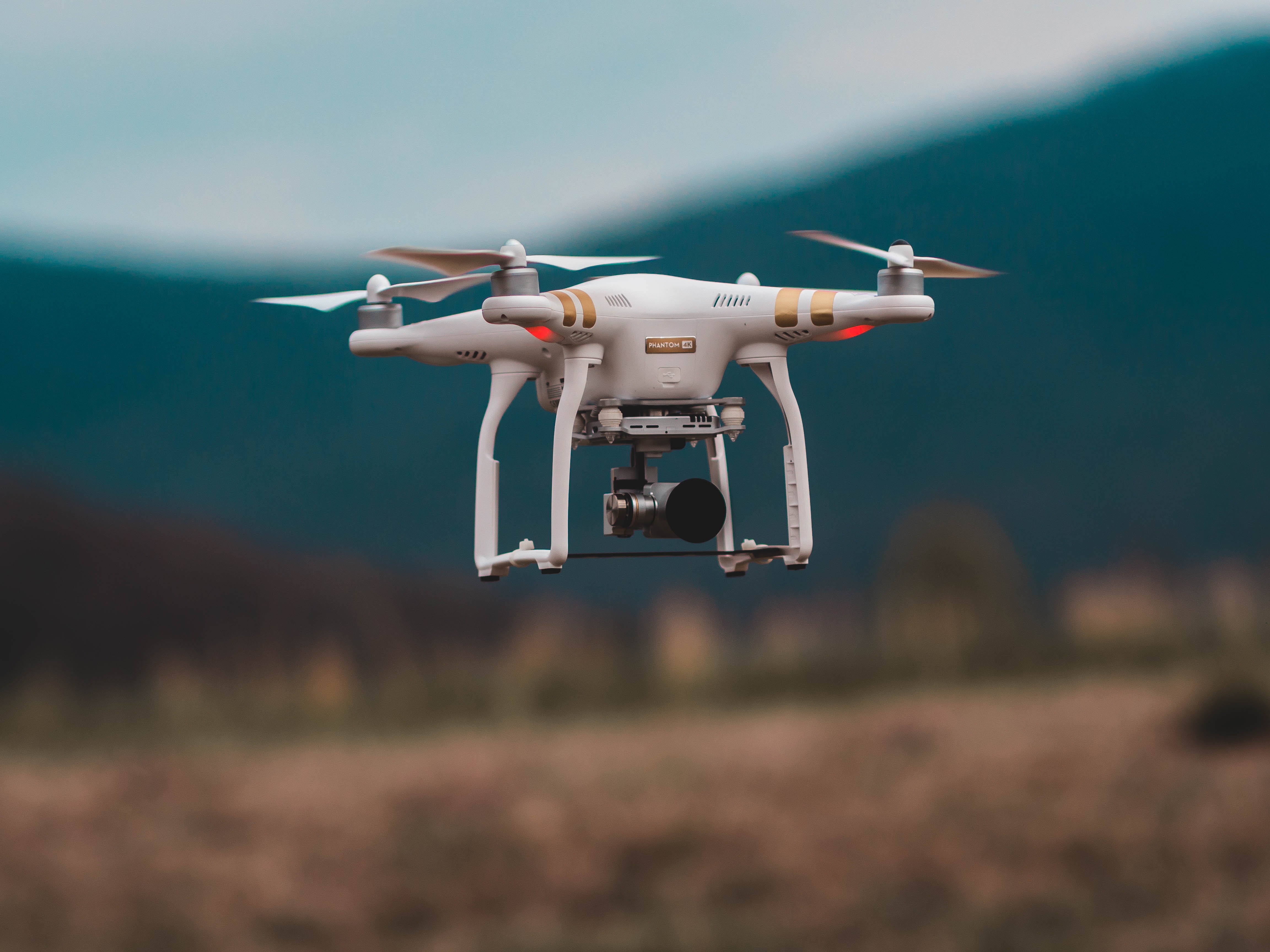
Researchers from Aarhus University and the Technological University of Denmark created an artificial intelligence (AI) algorithm that can control terrain measuring drones. The team’s goal was to make measuring and documenting rock quarries and other rock structures faster, cheaper and easier.
 Source: Unsplash
Measuring and documenting rock quarries, cliff face and manmade rock faces has been traditionally done with human-controlled drones. After the drone is done gathering images of a rock face, the photos are uploaded to a computer which automatically generates a 3D terrain model.
Drone pilots are expensive and time-consuming. Drones were manually controlled so they could maintain the same constant distance to the wall, stay perpendicular and adjust to wind gusts. The imaging also requires significant overlap so the computer can stitch the images together. It was not possible to achieve all of this without a human operator, until now.
With the new algorithm, the only thing a human has to do is program the starting placement and width of the rock face being photographed and the drone does the rest on its own. The model can predict wind encounters so the drones can make preemptive corrections before the wind hits, allowing it to maintain the correct position.
This research will be presented at the European Control Conference in May 2020.
